
The very first project that would ultimately lead to the birth of NDrive was the creation of Portugal’s first comprehensively detailed digital map. 15 years have passed and dozens of projects later, map creation is still at the core of what we do.
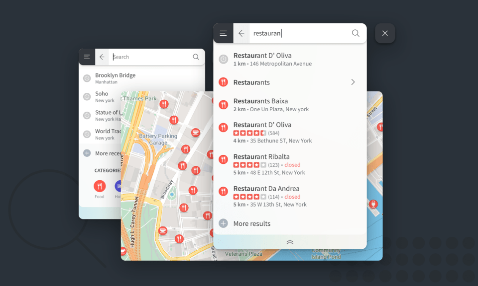
We are happy to share with the public NMaps, a global desktop platform for map exploration and route calculation. At first glance it’s a ready to use tool for end users, open to anyone with an internet connection, but like in other projects before it, we see it as a showcase of our expertise in creating maps and navigation solutions adjusted to specific customer needs.
With NMaps, you can tailor your geo information to suit your company’s daily operations. Weather info, road conditions, fleet localization, brick-and-mortar businesses details, you decide what to see.
Logistics companies, transport companies, basically any business area that stands to gain from good fleet management can potentially become a customer, which makes this project another step in the right direction, that of an NDrive whose business is not only based on navigation, but in the much larger concept of location.
And this is nothing new really, most of our business has been centered around making good partnerships with other companies. We thrive in B2B because we’re highly technical and experienced in a very specialized line of work. To drive this point home and without going into much detail, at the present moment we have our hands on projects with customers in businesses that go from Public Transportation to Energy Distribution.
So if you’re a company looking to innovate or simply someone trying to set up a route to somewhere new, NMaps may be exactly what you need.